Rockma Office
Rockma Office is a powerful drill planning software solution that gives you full control of the entire process – from drill plan design to production follow-up and analysis.
With support for both 2D and 3D workflows, you can plan drilling based on everything from simple elevation surfaces to complex 3D models. The system makes it easy to create, adjust and optimize drill plans with high precision, regardless of project complexity.
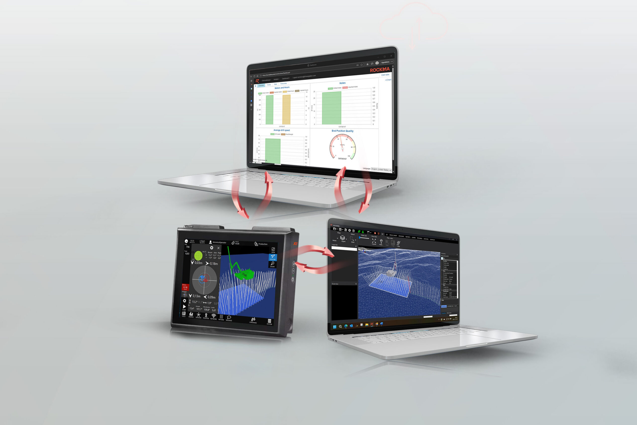
By bringing drill planning, production data and analysis together in one system, Rockma Office enables a more efficient workflow. Manual steps are reduced, communication between office and field is improved, and everyone works with up-to-date data.
As part of the Rockma ecosystem, data flows seamlessly between office, machines and cloud services. This allows you to monitor production in real time, make faster decisions and continuously improve results. Read more in the brochure below.
In combination with L5 3DDrill, Rockma Office creates a complete workflow where drill plans generated in the office are executed directly in the rig – with automatic feedback of as-built and production data for analysis and optimization.
Downloads
Brochure Rockma Construction-
2D and 3D Drill Planning
Create and manage drill plans in both 2D and 3D. Plan drilling based on terrain models, scanned surfaces or complex 3D data for maximum accuracy.
-
Full Production Overview
Gain a clear overview of projects and connected rigs. Monitor status and progress in real time to ensure drilling is carried out according to plan.
-
Efficient Workflow Without Manual Handling
Manage drill planning centrally and distribute updates directly to the rigs. Production data is automatically returned for follow-up and analysis.
-
Data-Driven Analysis and Quality Control
Analyze drilling data and evaluate results to optimize future drill planning. Sensor data validation ensures reliable decision-making.
-
Support for Industry File Formats
Import and export standard formats such as LandXML, DWG, DXF and IREDES. Easily integrate with existing systems and workflows.
-
Seamless Communication Between Office and Field
Communicate directly with operators via built-in chat. Ensure fast feedback and efficient collaboration throughout the project.
Contact us for pricingKr
Get in touch to discuss the scope and solution your particular business needs, or if you want to book a demo.
Contact us